Skip to content
Sutton Archive: Cheam Maps & Plans
Go Back
Home
Archive Menu
Sutton Archive Home
Cheam Maps & Plans
Scroll
Down
↓
Down
↓
Down
↓
To Browse Our Cheam Maps & Plans Archive Collection
Cheam: East Love Lane OS 1866-1867 1st Edition
Map
Date: 1866-67
Category: Maps & Plans
Press to enlarge
Cheam: South, Railway Station OS 1866-67 1st Edition
Map
Date: 1866-67
Category: Maps & Plans
Press to enlarge
Cheam: West, Nonsuch OS 1866-67 1st Edition
Map
Date: 1866-67
Category: Maps & Plans
Press to enlarge
Cheam: East, Love Lane OS 1896 2nd Edition
Map
Date: 1896
Category: Maps & Plans
Press to enlarge
Cheam: North, The Rectory OS 1896 2nd Edition
Map
Date: 1896
Category: Maps & Plans
Press to enlarge
Cheam: South, Railway Station OS 1896 2nd Edition
Map
Date: 1896
Category: Maps & Plans
Press to enlarge
Cheam: West, Nonsuch OS 1896 2nd Edition
Map
Date: 1896
Category: Maps & Plans
Press to enlarge
Cheam: Enclosure Map Showing Clay Pits
Map
Date: 1806
Category: Maps & Plans
Press to enlarge
Cheam: Tithe Map 1
Map
Date: 1840
Category: Maps & Plans
Press to enlarge
Cheam: Tithe Map 2
Map
Date: 1840
Category: Maps & Plans
Press to enlarge
Cheam: East Love Lane
Map
Date: 1934
Category: Maps & Plans
Press to enlarge
Cheam: North, The Rectory
Map
Date: 1934
Category: Maps & Plans
Press to enlarge
Cheam: South, Railway Station
Map
Date: 1934
Category: Maps & Plans
Press to enlarge
Cheam: West, Nonsuch
Map
Date: 1934
Category: Maps & Plans
Press to enlarge
Cheam: Nonsuch
Map
Date: 1956
Category: Maps & Plans
Press to enlarge
Cheam: Parts Of Malden Road & Love Lane
Map
Date: 1956
Category: Maps & Plans
Press to enlarge
Cheam: Love Lane Railway Station & The Rectory
Map
Date: 1970
Category: Maps & Plans
Press to enlarge
Cheam: Aerial Photograph
Photograph
Date: Jan 1946
Category: Maps & Plans
Press to enlarge
Cheam: Enclosure Section
Map
Date: Unknown
Category: Maps & Plans
Press to enlarge
Cheam: East & South Side Of Broadway OS
Map
Date: 1913
Category: Maps & Plans
Press to enlarge
Cheam: South & West Of Broadway OS
Map
Date: 1913
Category: Maps & Plans
Press to enlarge
Cheam: West Side Of Broadway OS
Map
Date: 1913
Category: Maps & Plans
Press to enlarge
Archive Categories
Beddington
Beddington Maps & Plans
Beddington Paintings
Belmont
Carshalton
Carshalton Paintings
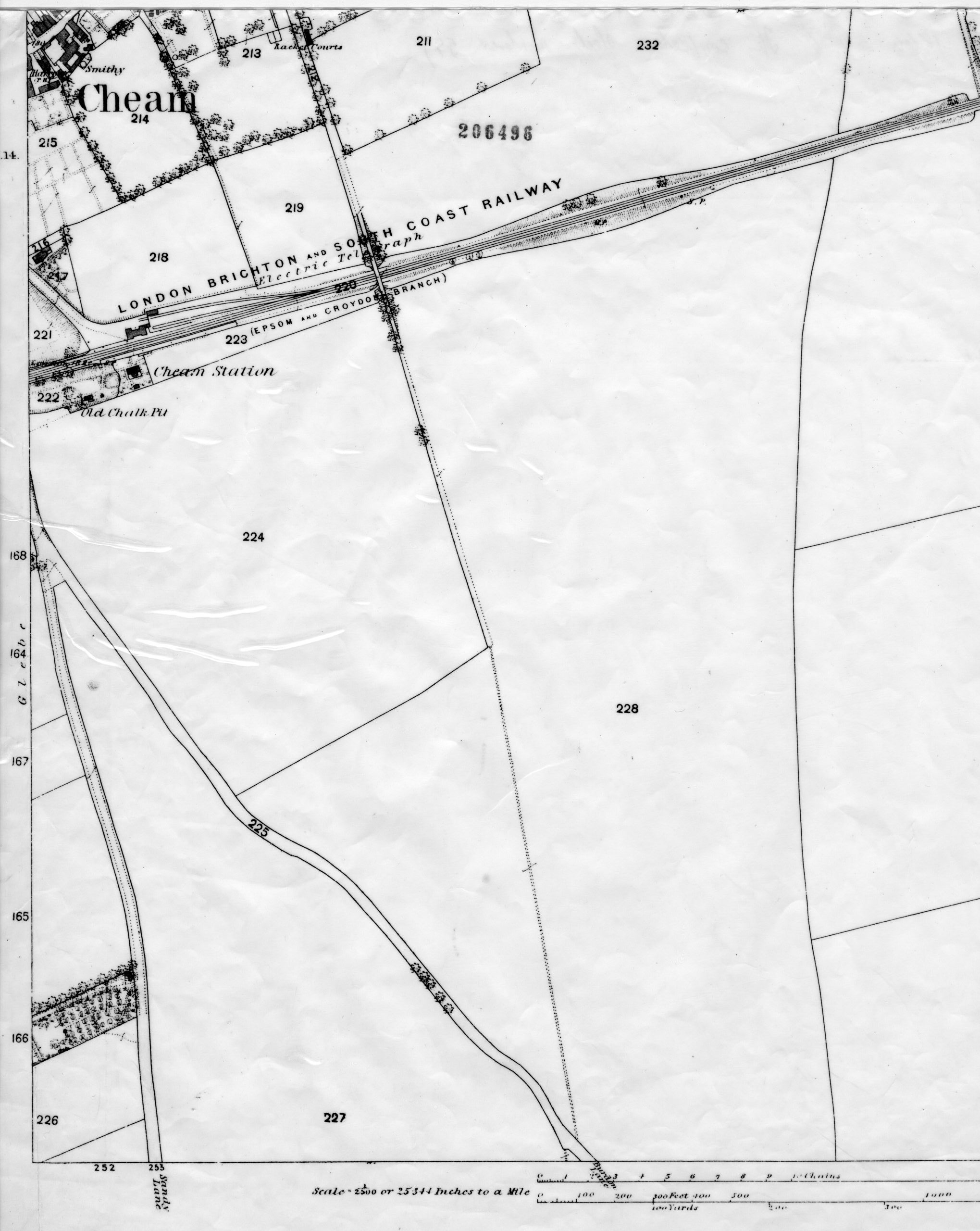
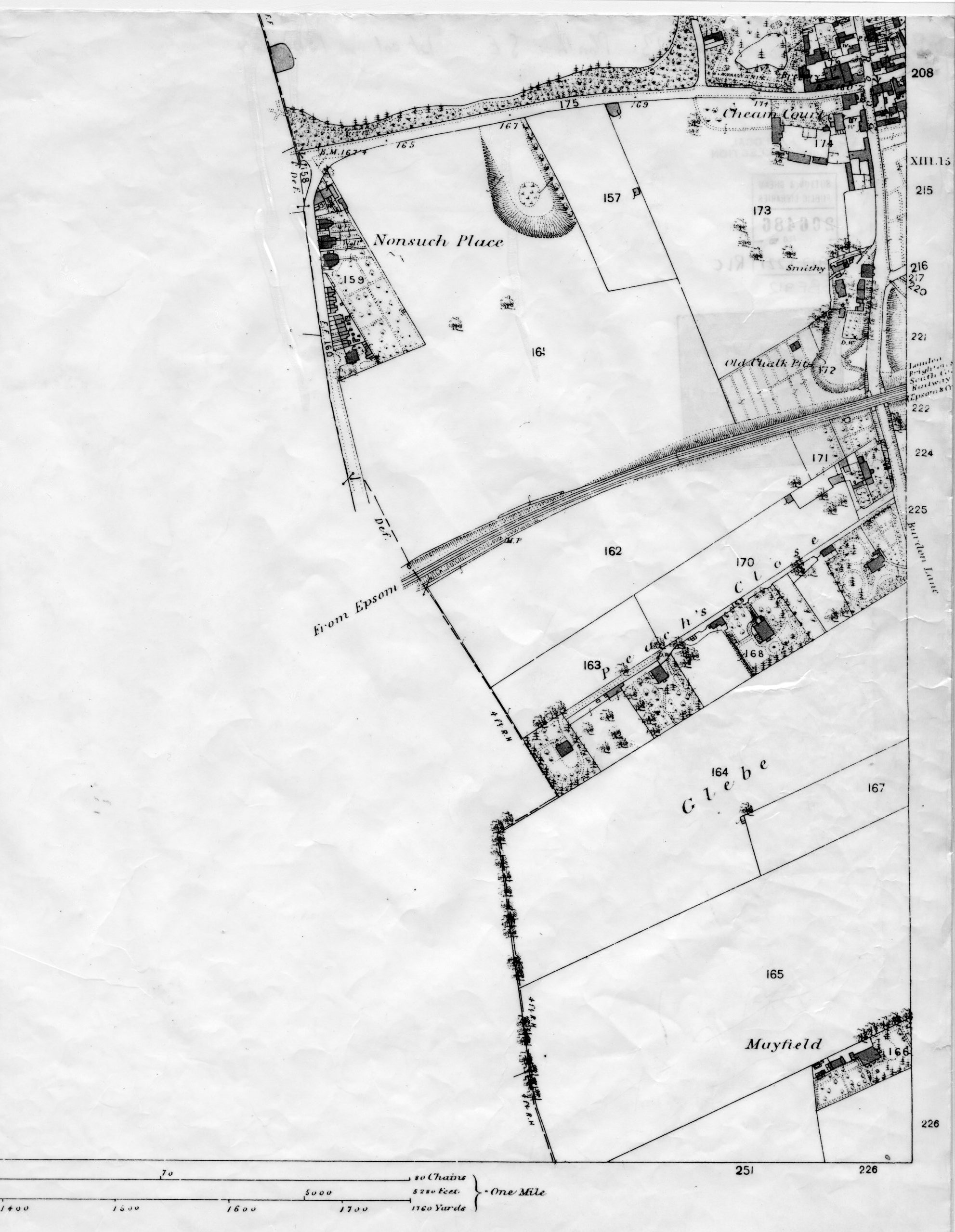
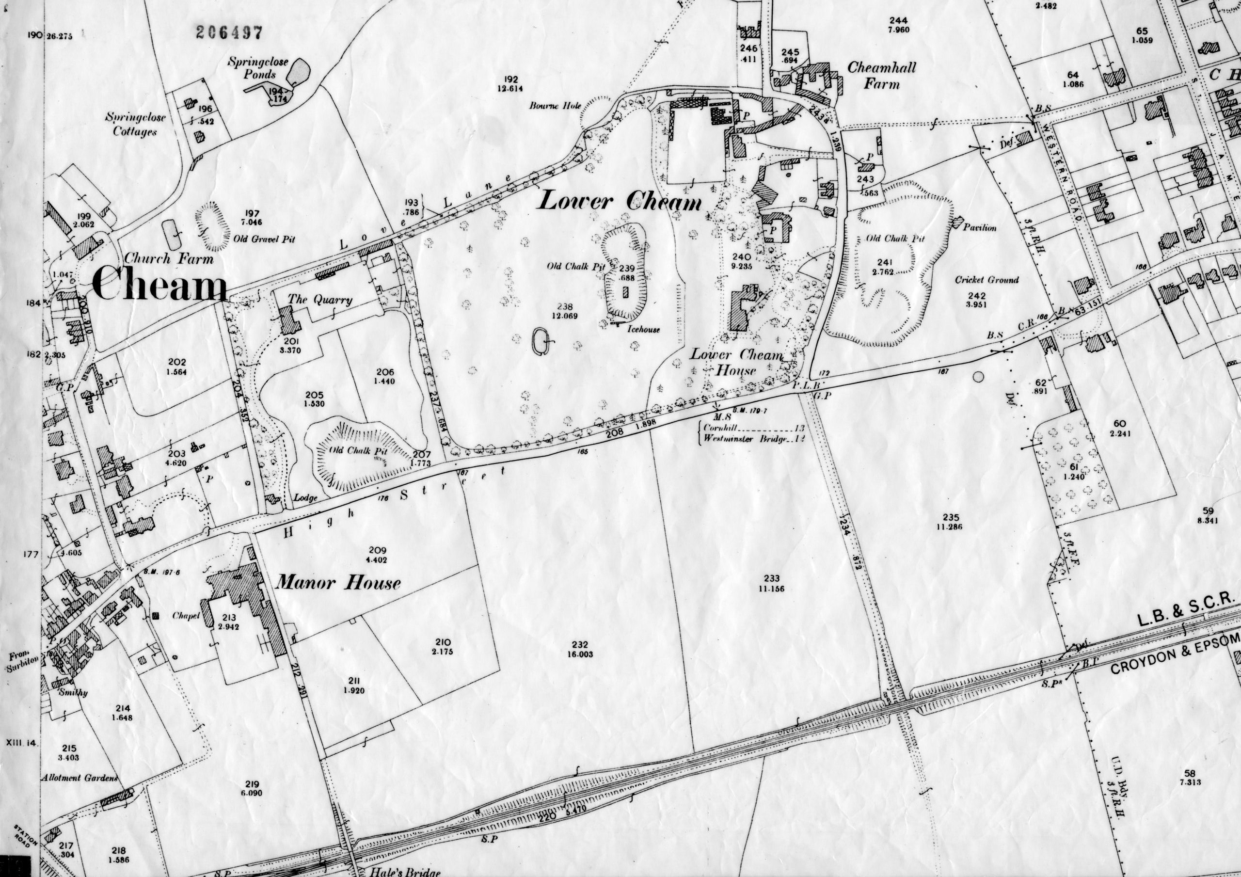
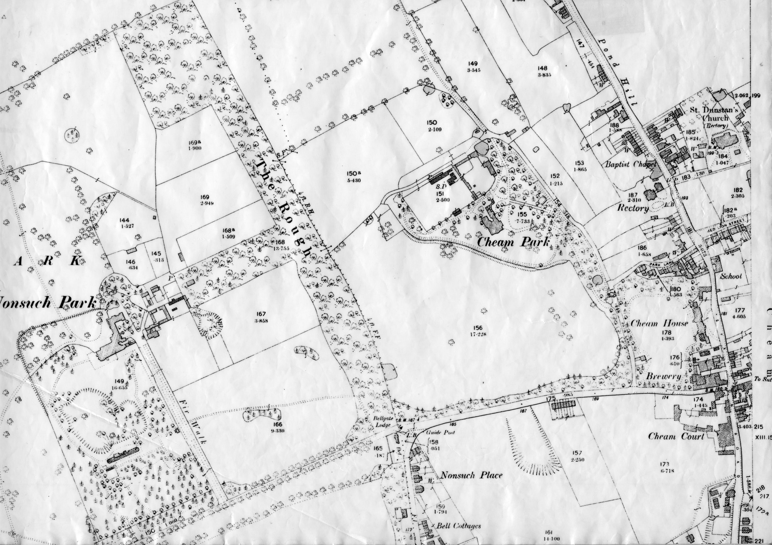
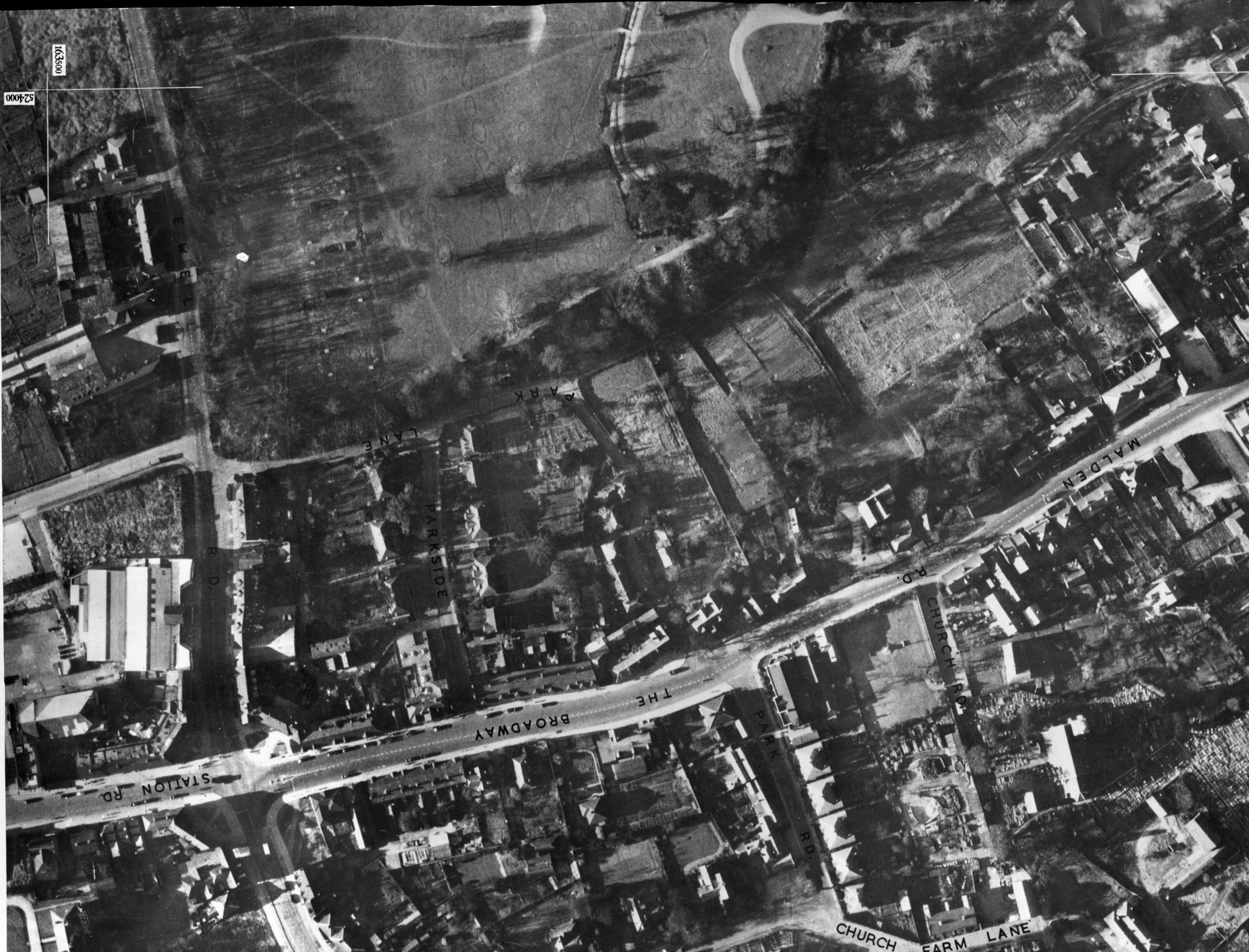
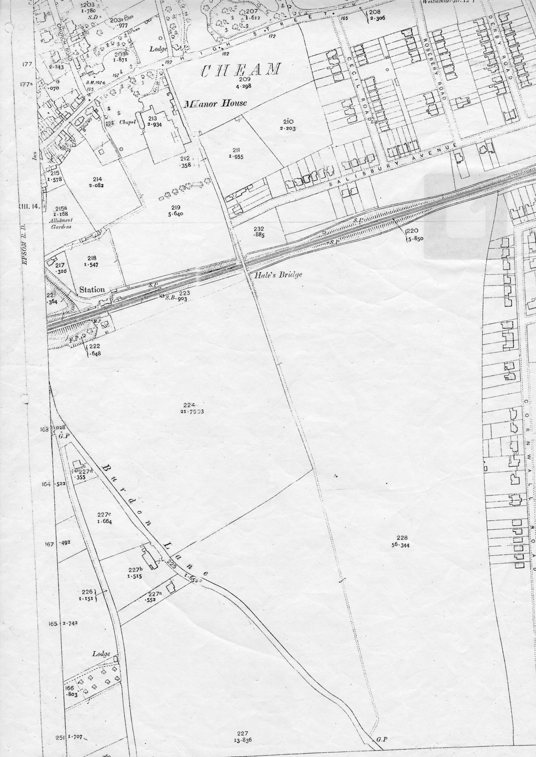
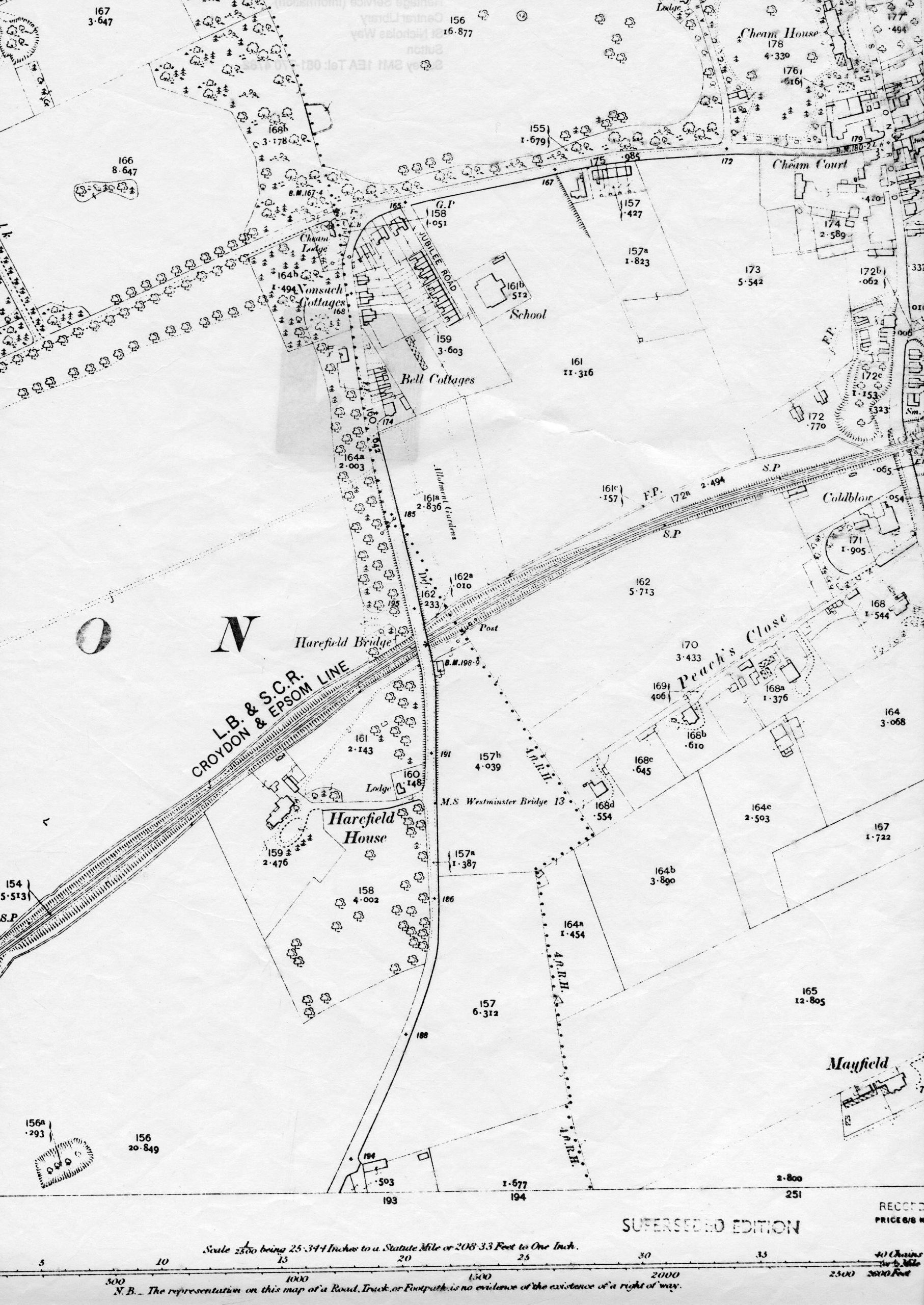
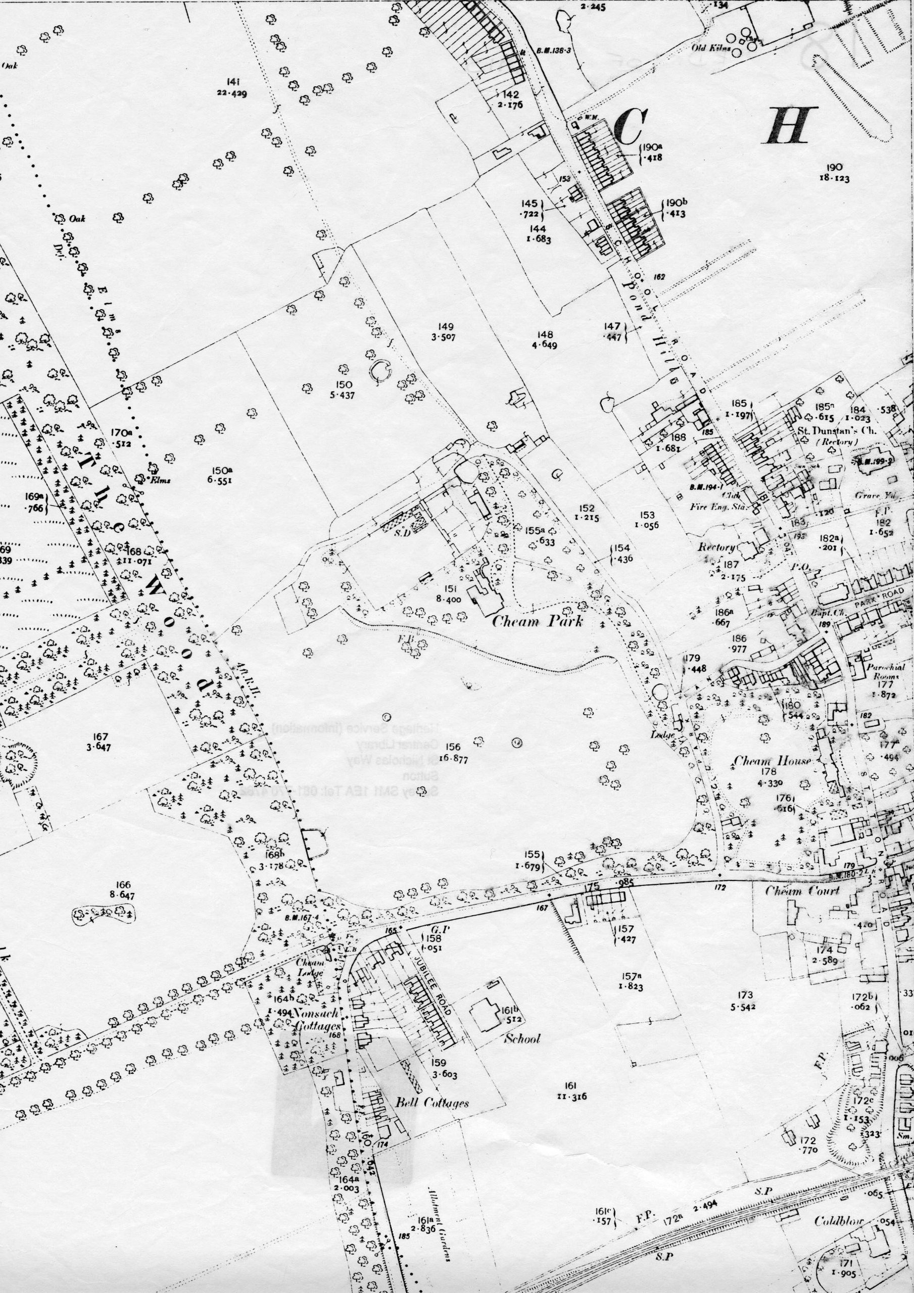
Cheam
Cheam Maps & Plans
Cheam Paintings
Childhood
Croydon Airport
Dogs
Local Industry
Local Schools
Parks & Open Spaces
Pubs & Hotels
River Wandle
Roundshaw
Sport
St Helier
Sutton Garden Suburb
Sutton High Street
Sutton Maps & Plans
Wallington
Wallington Paintings
Worcester Park
World War One
World War Two
Hamburger Toggle Menu
Back To Top ↑